Do You Actually Need a 4×4 in Armenia?
24 September 2026
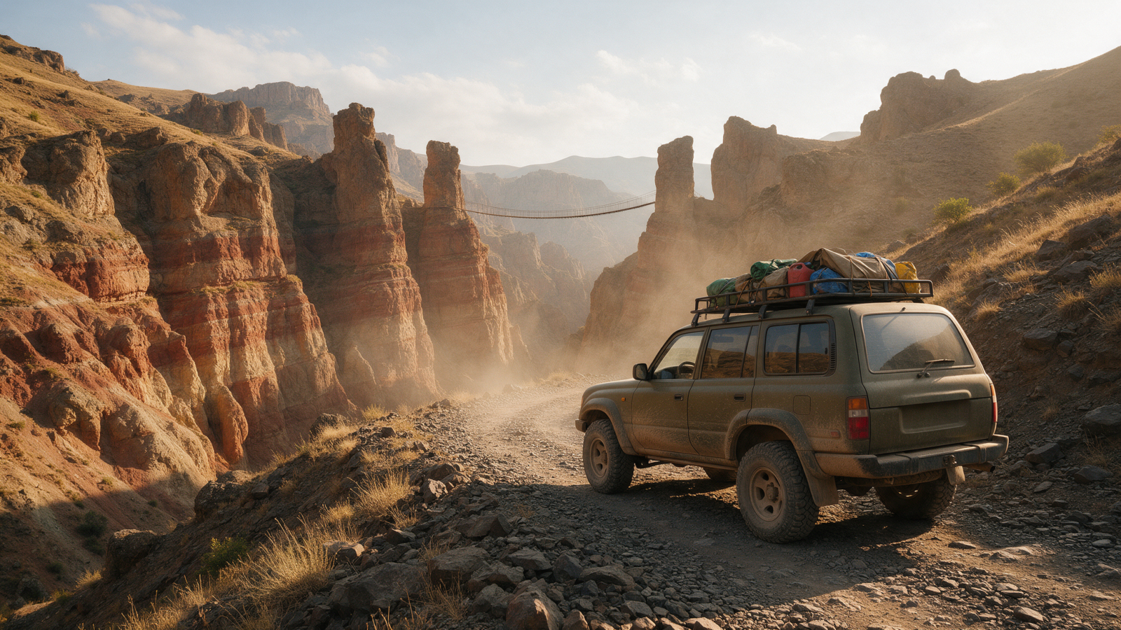
Almost certainly not. A sedan reaches more than 90 per cent of what visitors come to Armenia to see — every monastery on the standard loop, both UNESCO sites, Tatev, Lake Sevan, the Selim Pass in summer. There are three situations where a higher car genuinely earns its price, and exactly one route in the country where four-wheel drive is not optional. Here is the honest list, so you can stop paying for capability you will not use.
Armenia is more paved than it looks
About 96.7 per cent of Armenia’s 8,140 kilometres of road is asphalted. The intimidating part is not surface, it is gradient and geometry — hairpins, 2,400-metre passes, roads that drop hundreds of metres into a gorge and climb the other side. None of that requires four-wheel drive. It requires brakes, patience and a willingness to sit behind a lorry.
What actually damages cars here is potholes and broken edges on otherwise paved roads, and a slightly taller suspension helps with that. But “taller” is not the same as “four-wheel drive”, and the rental industry sells you the second when you occasionally want the first.
Where a sedan is completely fine
All of this is paved and all of it works in an ordinary car:
| Destination | From Yerevan | Notes |
|---|---|---|
| Garni and Geghard | 31 km / 40–50 min | Main road the whole way. The Symphony of Stones turn-off is a paved gorge road, about 2 km down from Garni |
| Khor Virap | 43 km / 45–55 min | Go early — Ararat hazes over by midday in summer |
| Areni and Noravank | 117 km / 1 h 50 – 2 h 10 | The Noravank approach is 8 km up a paved canyon between vertical red walls. Narrow, spectacular, no clearance needed |
| Lake Sevan and Noratus | 68 km / 60–75 min | M4, rebuilt and good |
| Dilijan, Haghartsin, Goshavank | 97 km / 1 h 30 – 1 h 45 | Paved spurs. The Haghartsin approach winds but is fine |
| Gyumri | 121 km / 1 h 45 – 2 h | M1, the best road in the country |
| Debed canyon: Haghpat, Sanahin, Odzun, Akhtala | via Vanadzor | Paved, but the monastery access roads are steep switchbacks. Clearance is more comfortable, not required |
| Selim Pass, 2,410 m | — | Paved but badly broken in places. A suspension road, not a clearance road. Fine in summer, driven slowly |
| Tatev, by cableway or by the gorge road | 253 km / 4 h 30 – 5 h 30 | The road up from Halidzor is about 40 minutes of hairpins. A regular car makes it |
| Zorats Karer, Sisian, Goris, Jermuk | 205–237 km | All on or just off the M2 |
| Amberd, and Kari Lake in dry season | 43 km / 67 km | See below — this one has a caveat |
That is the classic Armenia itinerary in full. If your plan is some version of the list above — and for most visitors it is — you are buying an SUV for the photographs, not the roads.
The three places a higher car earns it
1. Khndzoresk swinging bridge — the honest one
This is the only mainstream tourist site in Armenia where a sedan genuinely struggles, and two independent sources say the same thing. The bridge is 14 kilometres from Goris, and the last three kilometres is a gravel track full of potholes, materially worse after rain. One traveller’s taxi driver in an ordinary car refused to drive the final stretch rather than risk his vehicle.
The bridge itself is 160 metres long, entry is free, and it is one of the better things in Syunik. If it is on your list, the SUV is a real answer — or park at the top and walk the last section, which is a legitimate alternative in dry weather.
Khndzoresk lies about 14 km east of Goris, and several Western travel advisories draw their caution line at exactly that point — the German foreign office advises against areas east of Goris, US embassy staff are restricted from Syunik east of Goris, and Italy’s Farnesina advises against the Syunik region as a whole. The site is visited daily and sits well inside Armenian-controlled territory, but no advisory publishes a precise boundary, and Khndzoresk is closer to that line than Goris or Tatev are. Check your own government’s current advice before committing to it, and check what your travel insurance says about advisory areas.
2. Kari Lake, in the shoulder season
Kari Lake sits at 3,200 metres on Mount Aragats, reached via Byurakan and Amberd fortress at 2,300 metres. Sources disagree about the surface: an Armenian outdoor publication states flatly that it is old but well-preserved asphalt and reachable in a sedan, while another site claims the final three to four kilometres need four-wheel drive. We think the first is right.
Our position: the road is paved and sedan-drivable in dry summer conditions. Weather, not surface, is the constraint. The road is closed outright from late November to mid-May, and in the weeks either side of that window — late May, late October — clearance and grip buy you margin on a road where a sudden snowfall at 3,200 metres is entirely normal.
You go from about 1,000 metres in Yerevan to 3,200 at Kari Lake in a little over two hours of driving. That is fast. Mild headache and breathlessness are common and normal; take it slowly at the top, and do not plan a hard hike on the same afternoon you arrive.
3. Winter, anywhere in the mountains
From 15 November to 31 March winter tyres are legally mandatory in Armenia, with tread above 4 mm. On the passes they are the minimum, not the answer. Four-wheel drive with proper winter tyres is a meaningfully different vehicle on the Vorotan Pass in January than a front-wheel-drive saloon on the same tyres.
If your trip is between December and March and involves anything above about 1,800 metres, this is a real reason to go up a class. Details in winter driving in Armenia.
The one route where 4×4 is not a preference
Ughtasar. The petroglyph field above Sisian sits at 3,296 metres, reached by a 17-kilometre unpaved track that climbs 1,500 metres and takes about ninety minutes, with the final 500 metres on foot. Four-wheel drive is mandatory. The local vehicle of choice is a UAZ. The access window is mid-July to the end of August only, and the listed hazards are blizzards, high winds, fog, black ice and avalanche risk — in August.
Our advice on Ughtasar is not to sell you a bigger car. It is: do not self-drive this. Go with a local driver who knows the track. It is the one place in Armenia where the right answer is somebody else’s vehicle and somebody else’s experience.
The same applies, less dramatically, to tracks above 2,500 metres on Aragats, the approach roads to the Transcaucasian Trail, and remote valley tracks in southern Syunik.
Off-road driving is excluded from rental insurance across the Armenian market, and at least one operator detects it by GPS and forfeits the entire deposit. A 4×4 rental does not come with permission to go off-road. It comes with a better car for bad roads. If you drive a rented 4×4 onto a track and damage it, you pay for all of it — the four-wheel drive changes nothing about that.
How to decide in thirty seconds
Book the SUV if
- Khndzoresk is on your listLast 3 km is gravel
- You are travelling Dec–MarAnd going into the mountains
- Kari Lake in late May or late OctShoulder-season margin
- Four adults plus luggage for a weekSpace, not traction
- Debed monastery switchbacks after rainComfort, genuinely
Otherwise book the sedan and spend the difference on an extra two days, which in Armenia buys you considerably more than a bigger car does — a seven-day rental costs 25 to 30 per cent less per day than a three-day one.
One thing that is worth paying for regardless of body style: reducing the excess. Armenian roads produce stone chips, kerbed wheels and gravel scars, and a standard collision damage waiver makes you pay for all of them up to around 155,000 AMD. At $8 to $15 a day, that is a better use of money than four-wheel drive you will never engage. See deposits and excess in Armenia.
Tell us the route, we will tell you the car
Send us your itinerary and we will say plainly whether the sedan does it. We would rather rent you the right car than the expensive one.
Questions people actually ask
Do I need a 4×4 to drive in Armenia?
For the standard tourist itinerary, no. A sedan reaches Garni, Geghard, Khor Virap, Noravank, Areni, Lake Sevan, Dilijan, Gyumri, the Debed canyon, Tatev and the Selim Pass in summer. The genuine exceptions are the final gravel stretch to Khndzoresk, high-altitude roads in the shoulder season, and mountain driving in winter.
Can I drive to Tatev in a normal car?
Yes, both ways. The cableway is the famous route, but the road from Halidzor down through the Vorotan gorge, past Devil’s Bridge, and up to Tatev village is about 40 minutes of hairpins that a regular car handles. Many people ride the cableway one way and drive the other, which is the best of both — you only see Devil’s Bridge from the road.
Is the Selim Pass hard to drive?
Not hard, but rough. It is fully paved at 2,410 metres with a lot of potholes and broken surface. It damages suspension rather than stopping cars. Drive it slowly in summer in any vehicle. In winter, check the Rescue Service bulletin first.
Can I take a rental car off-road in Armenia?
No. Off-road driving is excluded from rental insurance across the market, and at least one operator monitors it by GPS and forfeits the full deposit. Renting a 4×4 does not grant permission to leave the road.
Is Kari Lake reachable in a normal car?
In dry summer conditions, yes — the road via Byurakan is old but well-preserved asphalt. It is closed from late November to mid-May, and in the shoulder weeks a higher car with better grip is worth having. Altitude is a bigger consideration than surface: you climb from about 1,000 metres to 3,200 in a little over two hours.
What about Ughtasar?
Four-wheel drive is mandatory, and the access window is mid-July to the end of August only. We would advise not self-driving it at all — go with a local driver who knows the 17-kilometre track. It is the single genuine off-road destination on most visitors’ lists and the one place where hiring the expertise matters more than hiring the vehicle.
Last verified 20 September 2026. Distances are routed on the OpenStreetMap network; drive times are reconciled planning figures rather than machine estimates, and assume a mountain average of 50–60 km/h. Road-condition assessments draw on Armenian sources and traveller reports, cross-checked where they disagree — where they still disagree, we say so in the text.