Roads in Armenia: Main Highways, Conditions and Winter
30 October 2026
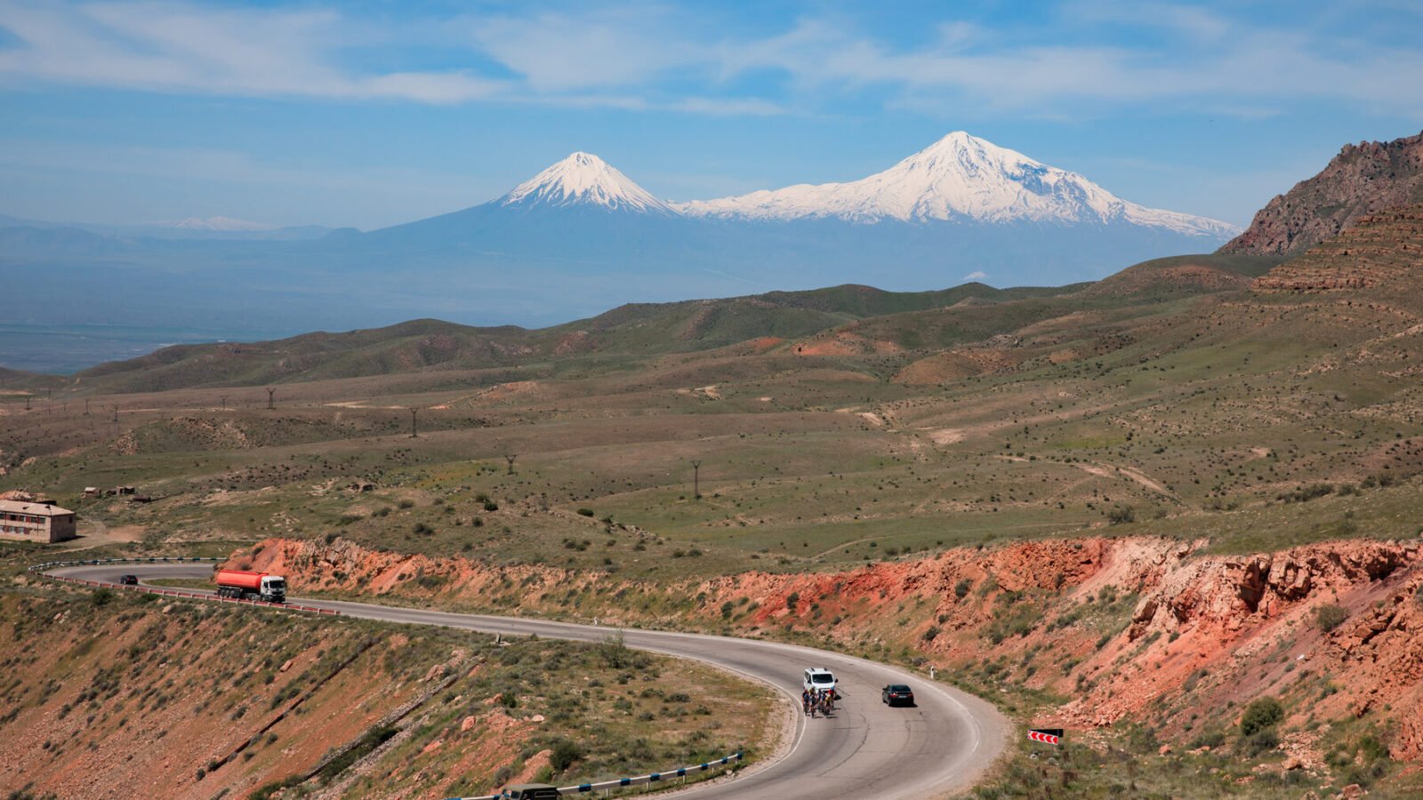
The roads in Armenia are better than their reputation on the main routes and worse than the map suggests off them. About 96.7% of the country’s 8,140 km network is asphalted, the highways most visitors drive are paved end to end, and cars pay no toll or vignette. The real risks are potholes, rockfall, slow mountain stretches and other drivers, plus a winter-tyre rule that starts on 15 November.
Roads in Armenia at a glance
- Network8,140 km, 96.7% asphalted
- TollsNone for cars; no vignette
- Speed limits60 km/h in towns, 90 outside, 110 on signposted expressways
- Winter tyresCompulsory 15 November to 31 March, tread above 4 mm
- Road statusrescue.mia.gov.am, updated daily in winter
- EmergencyPolice 102, ambulance 103, fire 101, Road Police 177
The main roads and what they are like
Armenian roads carry an M number (interstate), H (secondary) or T (local). Five M-roads cover almost every tourist itinerary.
| Road | Route | What to expect |
|---|---|---|
| M1 | Yerevan, Ashtarak, Gyumri, Bavra (173.7 km) | The best road in the country. Four lanes from Yerevan to Talin. |
| M2 | Yerevan, Ararat, Yeghegnadzor, Goris, Kapan, Meghri (384.3 km) | The southern spine. Mostly two lanes, with long climbs and slow trucks. |
| M4 | Yerevan, Sevan, Dilijan, Ijevan, Bagratashen | The main Sevan and Dilijan artery, substantially rebuilt. |
| M6 | Vanadzor, Alaverdi, Bagratashen (90 km) | Fully rebuilt, final stage finished in 2023, with new bridges, tunnels and lighting. |
| M5 | Yerevan, Armavir, Turkish border | Closed at the border. Do not plan on it. |
If you are choosing a car for these roads, a normal sedan handles all of them in dry weather. Our 4×4 guide lists the few places where it does not.
Drive times that match reality
Distances look short on a map. Mountain roads average 50 to 60 km/h, not 90, so use these planning figures.
| Leg | Distance | Plan for |
|---|---|---|
| Yerevan to Garni | 31 km | 40 to 50 min |
| Yerevan to Dilijan (M4 and tunnel) | 97 km | 1 h 30 to 1 h 45 |
| Yerevan to Gyumri | 121 km | 1 h 45 to 2 h |
| Yerevan to Goris | 237 km | 3 h 45 to 4 h 30 |
| Yerevan to Tatev | 253 km | 4 h 30 to 5 h 30 |
Surface, potholes and rockfall
The UK Foreign Office says roads are in a poor state “particularly in the coldest months, from November to February”. The German Auswärtiges Amt lists defective traffic lights, thin signage, landslides after rain and missing drainage. Take rockfall signs seriously: they are real, above all in gorges and after storms.
Side roads are another matter. The last 3 km to the Khndzoresk swinging bridge are gravel with potholes, and the road to the Ughtasar petroglyphs is a 4×4 track open only from mid-July to the end of August. Everything else on the standard tourist map is paved.
The North-South corridor is still a work in progress
Do not expect a motorway from Gyumri to the south. The North-South Road Corridor was cut from 556 to 461 km, and by June 2025 only about 80.7 km (17.5%) was complete after 13 years. The 2026 programme includes the start of the Kajaran tunnel (about 7 km, a six-year build) and the Ashtarak to Talin section. Until then the M2 stays a two-lane road that rewards patience.
Stretches to avoid or drive with care
Two places catch tourists by accident. On the M2 at Yeraskh the road passes within metres of the Nakhchivan frontier: transit is allowed, stopping is not, so drive through and do not photograph. And a 21 km section of the old Goris to Kapan road is closed to general traffic. The Ltsen bypass is paved, open and adds 30 to 40 minutes, but a navigation app may still send you onto the old line, so follow the road signs. For the full list of warned roads, read the foreign-office advice for your country before you go.
Winter driving
Winter tyres are compulsory from 15 November to 31 March on cars and vans up to 3.5 t, with tread above 4 mm (Ministry of Internal Affairs, rule in force since December 2024). Fit them for the whole window, even if the road looks dry. Black ice is common around Lake Sevan, Aparan, Spitak and Vanadzor. The Kari Lake road is closed from late November to mid-May, and the Vardenyats (Selim) Pass is often restricted to trucks and difficult for cars. Check the Rescue Service road bulletin each morning. Please read our rental terms for what the cars are fitted with in winter.
Practical tips
Avoid driving outside towns after dark: the Foreign Office advises it, and unlit roads, animals and unmarked potholes make it tiring. Speed cameras are dense around Yerevan, the airport road and Lake Sevan, and fines reach the car owner, so they surface through the rental company. Navigation works best with Yandex Maps, and offline maps help in gorges where the signal drops. Carry cash for fuel in villages, and read our guide to fuel prices in Armenia before a long day.
Planning a road trip?
Free pickup at Zvartnots arrivals, no hidden fees. Questions about routes, winter tyres or your arrival time? Write to info@evncar.com.
Questions drivers ask about Armenian roads
Are the roads in Armenia good enough for a normal car?
Yes on the main routes. The M1, M4 and M6 are rebuilt and the M2 is paved all the way to the south. Potholes and rockfall are the usual trouble, and a few side roads, such as the Khndzoresk bridge approach, are rough.
Are there tolls or a vignette in Armenia?
No. Cars pay no motorway toll or vignette in Armenia. You only pay for fuel and for paid parking in Yerevan.
Is it safe to drive at night?
It is possible in cities. Outside towns the Foreign Office advises against it, because roads are poorly lit and driving standards are low. Plan to arrive before dark.
Do I need winter tyres?
Yes from 15 November to 31 March, with tread above 4 mm. The rule covers passenger cars and vans up to 3.5 t.
Where can I check road closures?
The Armenian Rescue Service publishes a road bulletin, updated daily in winter, at rescue.mia.gov.am. Navigation apps may still show closed passes as open.
Keep reading
Next: petrol, diesel and LPG prices, electric car charging, and the full set of driving guides. Questions? Contact us.
Last verified 30 October 2026. Network length and road numbers from the Armenian road authority data; winter-tyre rule from the Ministry of Internal Affairs; hazards from the UK Foreign Office and the Auswärtiges Amt; corridor progress as of June 2025 and 2026 programme announcements. Drive times are planning figures, not machine estimates.